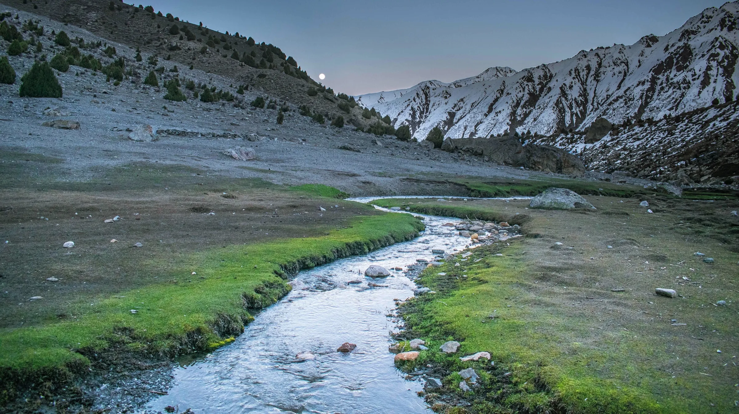
Nanga Parbat
Rupal valley and the highest wall on earth
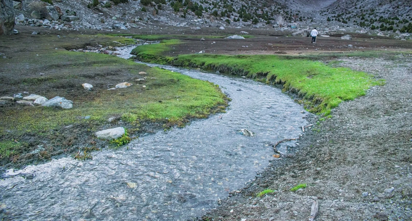
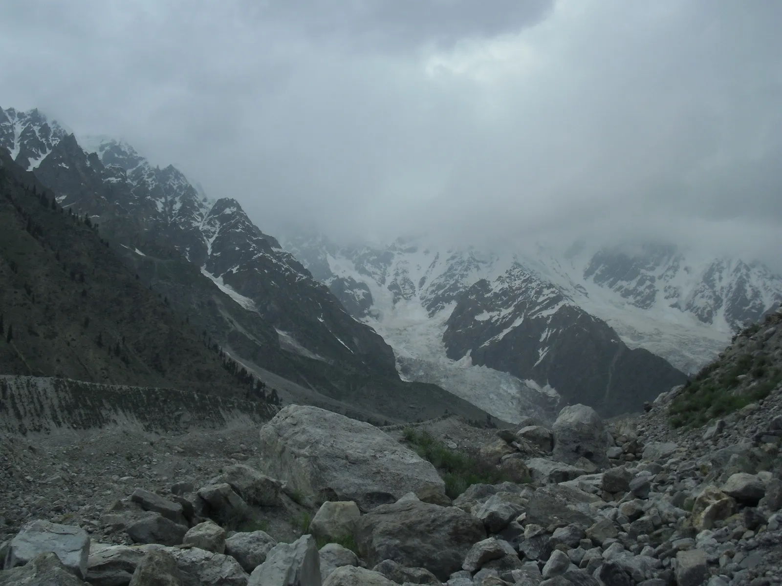
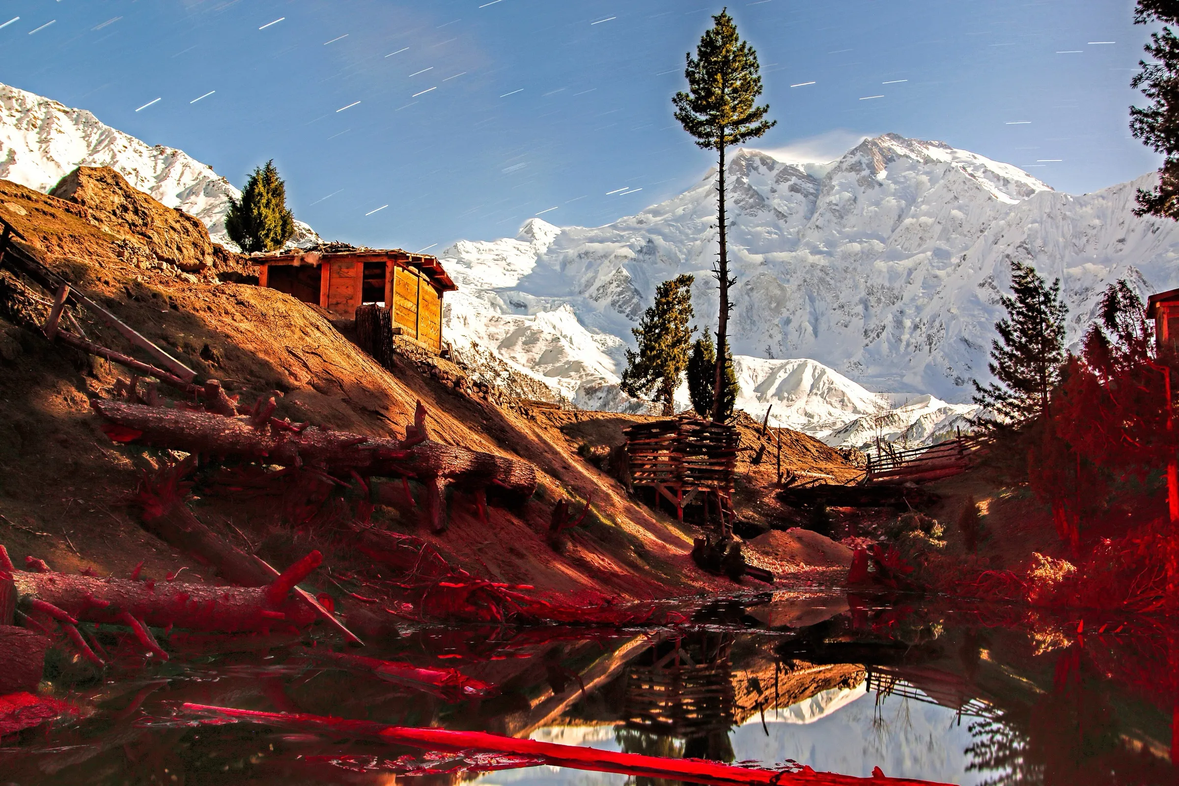
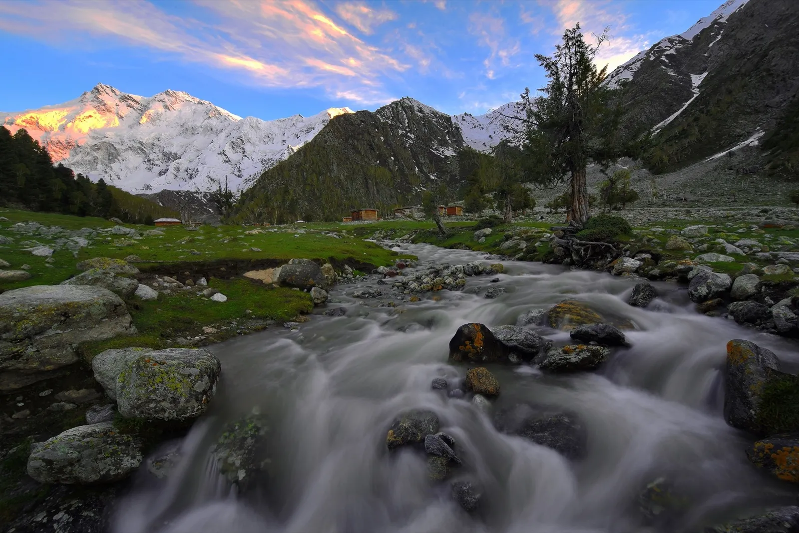
The south side of Nanga Parbat: 4,600 metres of rock and ice in one unbroken face, the biggest mountain wall in the world. And in front of it, a green valley almost nobody walks.
Author: Maariz, CC BY-SA 4.0

- Duration
- 9 days
- Difficulty
- Demanding
- Highest point
- 3,600 m
- Distance
- 55 km
- Best season
- Jun – Sep
- Budget on the ground
- 50–90 € per day
- Group size
- 4–10
Overview
The other side of the mountain
Almost everyone goes to Fairy Meadows and sees Nanga Parbat from the north. The Rupal valley is on the south side, and it holds the highest mountain wall on earth: 4,600 metres from valley floor to summit, unbroken. For comparison, the biggest wall in the Alps is around 2,000 metres.
What is remarkable is how few people come here. On the north side you meet others constantly in season. In the Rupal valley you may well be the only group at base camp.
Demanding, but not high
The highest point is 3,600 metres. It is still marked demanding, because of the length of the days, the glacier crossing on day four, and because the infrastructure is thinner than in the north. There are camps rather than huts, and much less traffic if something goes wrong.
Why I recommend it
Because it is the most honest place to understand how big this mountain actually is. You sit at 3,600 metres, look up, and the summit is still four and a half kilometres above you. That puts things in order.
Day by day
1–2
Islamabad to Astore
Via the Karakoram Highway and the Astore valley. Two driving days.
Day 3
Astore to Tarashing
Jeep to Tarashing at 2,900 m. First sight of the wall from below.
Day 4
Tarashing to Herrligkoffer Base Camp
Across the Chungphar Glacier to base camp at 3,600 m, named after the German expedition leader.
Day 5
Rest day at base camp
A day of doing nothing except watching the wall and the light moving across it.
Day 6
Latobah and Shaigiri
Further up the valley to the summer pastures. Shaigiri gives the most complete view of the Rupal face.
7–8
Back to Tarashing
Down through the valley, easier than the way in.
Day 9
Return
Jeep to Astore and onward to Islamabad or Gilgit.
Practical details
- Permits
- No special permit; registration in Astore is customary.
- Visa
- E-visa, ordinary tourist type.
- Acclimatisation
- 3,600 m at most, so harmless in altitude terms. What tires you is the length of the days, not the height.
- Getting there
- Via Chilas or Gilgit into the Astore valley, then jeep to Tarashing.
Photos